Sea levels are already higher than many scientists imagined, study shows
New research indicates that scientists studying sea level rise have been using methods that underestimate how high the water already is today. In practice, this means that hundreds of millions more people around the world already live dangerously close to the rising ocean than Western researchers estimated.
The study, published on Wednesday in the journal , concluded that the vast majority of scientific work makes this basic error. On average, sea levels in coastal areas are 20 to 30 centimeters higher than many maps and models of the planet’s coasts show.
US accuses China of maintaining bases in Brazil for military purposes
American Congress dossier points out that units in Bahia and Paraíba can act as espionage centers and guides for Beijing’s modern weapons
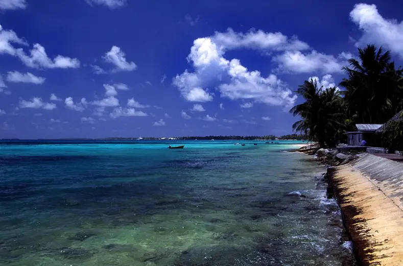
In some regions, the difference is much greater — especially in Southeast Asia and Pacific island countries, where ocean dynamics are more complex. In these places, coastal sea levels can be several meters above commonly used estimates.
This is not to say that these studies are wrong in their general conclusions about the speed of sea rise or the predicted impacts. Sea levels in coastal areas are rising with global warming — this is still true. The point is different: many scientists have been starting from a wrong “point zero” when calculating which areas and populations will be affected in the future.
In plain English: they had been underestimating where the sea level on the coast already is today.
This detail makes a lot of difference at a time when governments and public policymakers are turning to science to find out how much land area — and how many people — could be impacted by the advance of the ocean, explains Katharina Seeger, postdoctoral researcher at the University of Padua, who led the study while pursuing a doctorate at the University of Cologne. “I didn’t expect the discrepancy to be so big,” she said.
It may seem strange to talk about map errors at a time when GPS and satellite images are part of the routine. But the new work highlights a broad problem in the method researchers typically use to understand the shape of coastlines and how they might change in a warmer climate.
The authors reviewed 385 scientific articles published in peer-reviewed journals and found that less than 1% actually got where sea level is today. The problem begins with an old method that compares satellite altitude measurements of the terrain with a “geoid model” — a way of estimating average sea level based on the Earth’s gravitational field.
This method was already a reference and was frequently taught in postgraduate courses, recalls Philip Minderhoud, senior author of the article and associate professor who researches soil subsidence and sea level rise at Wageningen University & Research and the Dutch institute Deltares.
However, today there are other satellites and instruments capable of measuring the real sea level and showing local variations caused by currents, winds and tides — factors that influence the water level, but are not included in the model based solely on gravity. The best estimate of sea level appears when these two pieces are combined in the right way.
The new study shows that, in most cases, this was not done. Around 90% of the work analyzed by Minderhoud and Seeger used only the method based on the Earth’s gravitational field. Another 9%, generally more recent, even combined the two types of data, but apparently incorrectly.
For Robert Kopp, a climate and sea level specialist at Rutgers University in New Jersey, who was not involved in the study, the work deals with a technical topic that tends to have more impact within the scientific community than on the day-to-day lives of local managers. “In general, anyone who suffers from flooding at high tide knows very well where the sea is,” says Kopp. He recalls that science has been warning for years that rising sea levels will affect many people — and the new study does not change that message.
From a global perspective, however, the results suggest that hundreds of millions more people—especially in Vietnam, the Philippines, Indonesia, the Maldives, and other countries in Southeast Asia and the Pacific—live much closer to sea level than has been assumed in much of the literature produced by experts and policymakers in the West.
This article was originally published on .