Pokémon Go players created giant map that now helps robots deliver pizza
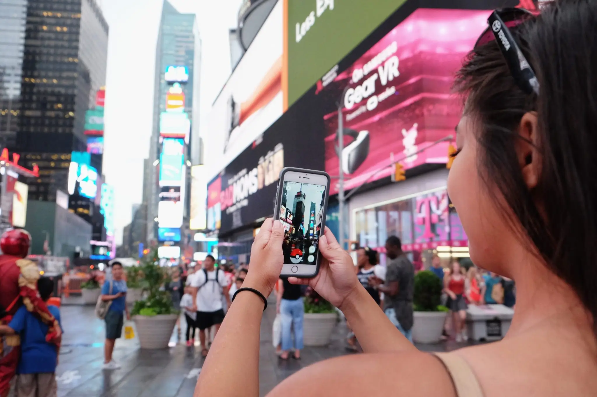
Pikachus on every corner. Leveling up before entering the gym. “Pokémon Go to the Polls.” You remember this time well: Pokémon Go became a rage, with hundreds of millions taking to the streets looking to capture the rare Azelf or a special edition Charizard. Now, not only does it look like Pokémon Go has taken the world by storm, it was also using crowdsourced data to map it.
Over the past decade, Pokémon Go players have voluntarily submitted photos and short videos of public landmarks, street corners, storefronts, and urban intersections — all coming together to create a dataset that now numbers 30 billion images captured at street level in virtually every major city on the planet.
Also read: How “The Decade of Robots” paves the way for a trillion-dollar market
Niantic Spatial, the corporate AI and mapping division spun out of Niantic Inc., spent years converting this collection into something the robotics industry had never seen before: a photorealistic, street-level, continuously updated model of the physical world, built specifically for robots.
This model is now being deployed to guide Coco Robotics’ fleet of nearly 1,000 delivery robots, which operates in cities across the country and around the world, including Los Angeles, Chicago, Miami, Jersey City and Helsinki, accumulating millions of kilometers in deliveries to date. Brian McClendon, chief technology officer at Niantic Spatial and one of the original creators of Google Earth, explains the data strategy straightforwardly.
“We view player data as very high-quality training data for other lower-quality data sets,” McClendon told Fortune in a statement.
“Niantic Spatial’s long-term philosophy is that we can solve these difficult localization, reconstruction and semantics problems by using very specific places to train models, and then using much more widely available, albeit lower resolution, data to find, visualize and understand from ‘bad’ data.”
Pokémon Go’s 30 billion images are not just a map: they are a master key that unlocks the potential of how to create a map of the real world in real time. Player captures teach the model what precision is — it’s so accurate, in fact, that it can even indicate when data input is imperfect.
It’s a strategy that positions Niantic Spatial less as a game company that has changed course and more as the most ambitious mapping operation ever created — funded entirely by its own users’ enthusiasm for capturing digital creatures.
Niantic Spatial’s Visual Positioning System, or VPS, solves a problem that has silently held back the autonomous delivery industry. GPS, the basis of most navigation systems, doesn’t work as well in dense urban environments, where tall buildings interfere with satellite signals.
For a delivery robot that needs to leave food at a specific door, missing by a few meters means dissatisfied customers complaining that the burger arrived cold — or ended up in the neighbor’s stomach. Instead, the VPS completely bypasses satellites, comparing real-time images from the robot’s cameras with its vast database to determine position instantly.
“The model works in real time, taking images from the robot and comparing them to both public and proprietary databases we collect to determine the robot’s global position and orientation,” a Niantic Spatial spokesperson told Fortune in a statement. The company already knew where this technology performs best: “Niantic Spatial’s VPS is particularly resilient in ‘urban canyons’ where GPS performs poorly.”
“Our initial VPS was built based on captures that users chose to take in games — but no single source defines the model,” said the Niantic Spatial spokesperson.
Player participation was always voluntary: users had to actively choose to submit a short video scan of a specific public landmark. Today, the model increasingly learns from data generated by Niantic Spatial’s own corporate customers.
The underlying engine—a large geospatial model, or LGM, trained with billions of placed images and hundreds of millions of real-world scans—underpins three capabilities: reconstructing spaces as navigable 3D models, locating machines within those spaces, and semantically understanding environments.
As CEO John Hanke wrote in a recent blog post: “Over the past few years, we have been building a large geospatial model that serves as a living, dynamic map of the world, native to robots and AI.”
For Zach Rash, CEO of Coco, the problem lies in the robots’ ability to reason (or lack thereof).
“Robots don’t yet have the same intuition as a human, who can understand, ‘My GPS isn’t working very well, but I know that’s probably where I should go,’” Rash told Fortune. “We need the robot to have that kind of intuition.”
“When we get into very dense areas, with a lot of tall buildings, that’s where the VPS solution can be really useful,” said Rash. “Our GPS and our current solutions can fail in this type of environment.”
The impacts, according to him, are noticed by customers at the final moment of delivery: “It is a terrible experience for the customer when the robot stops in the wrong place waiting to receive the order.”
“We’re at the very beginning with Niantic Spatial, and we’re excited to collaborate with such an incredible team as they look to understand how to incorporate this into existing technology to improve the service. VPS is an obvious solution,” continued Rash. “They’re very good at this. If I can more accurately determine where to leave the food, my customers will be happy.”